
- 5 October 2026
- Posted by: EYATH S.A.
- Category: All News
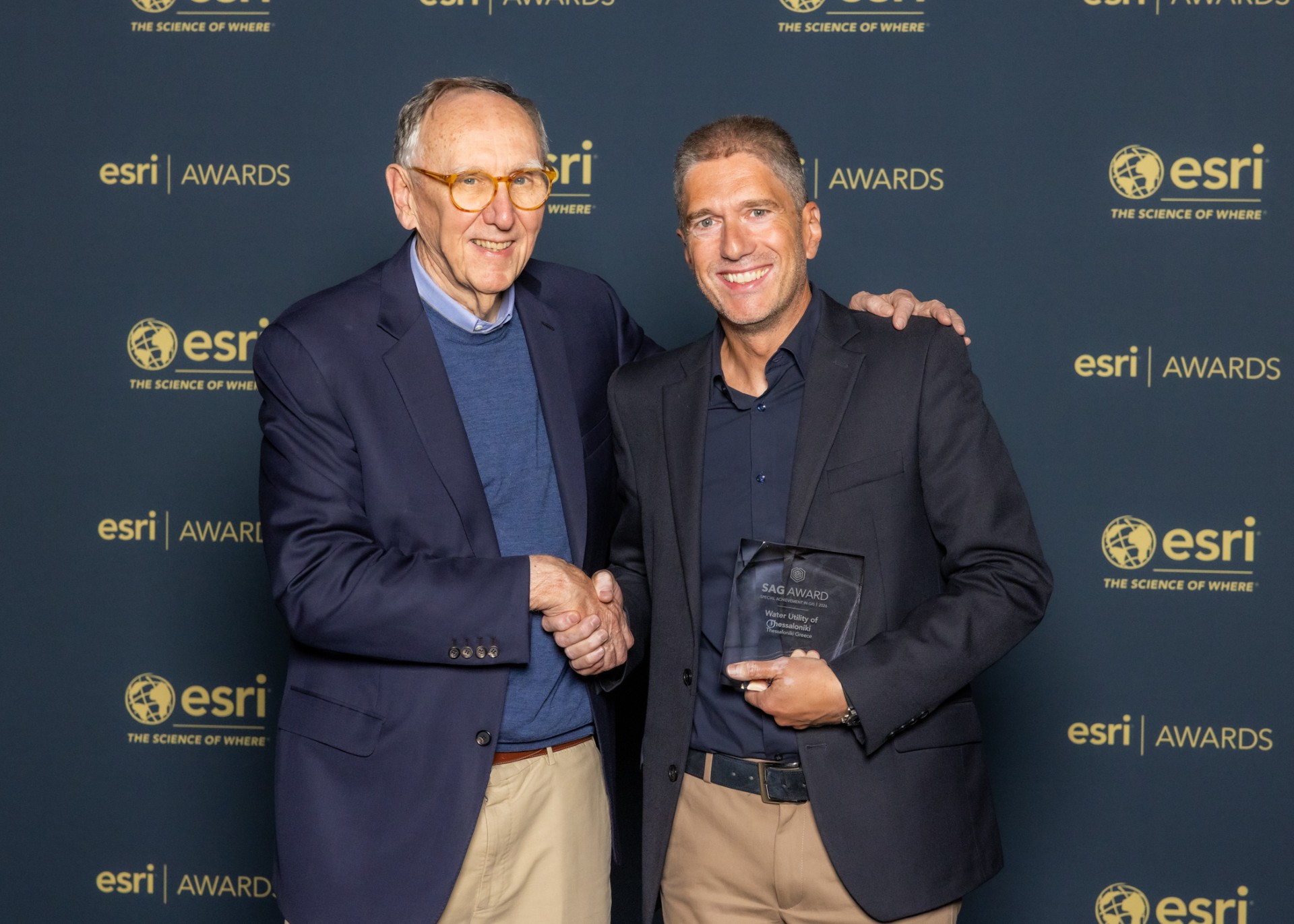
EYATH has achieved another “first”—a testament to its valuable, long-standing expertise in the GIS sector—at the Esri User Conference held in San Diego, USA, attended by 20,000 delegates.
EYATH S.A. was honored for the second time (the first being in 2015) as one of 187 organizations distinguished globally out of more than 700,000 candidates. The company was recognized for its long-standing in-house expertise in Geographic Information Systems (GIS); it applies world-class, pioneering methods to leverage geoinformatics technology for integrating corporate information systems, automating business processes, and transforming the entire operational framework of a water supply and sewerage company like EYATH.
“For EYATH, the utilization of GIS serves as a key tool for the effective management of its networks.” “Our extensive know-how, our team’s expertise, and the use of modern digital tools enable us to make faster and more well-founded decisions. We are thus improving both our day-to-day operations and our long-term planning—especially now, given the emerging need for a new architectural design for water management in Thessaloniki and Chalkidiki,” noted EYATH CEO Anthimos Amanatidis.
The company has utilized GIS technology since 2000, applying it to its daily operations to manage water supply and sewerage networks through databases and access to the full range of necessary technical information. Using tablets or smartphones, the company’s technical staff has continuous online access to the GIS, allowing them to determine the exact location and specifications (material, diameter, age, etc.) of the networks at any time and from any location; furthermore, integrating the call center with the GIS ensures faster intervention by EYATH in the event of a failure, thereby minimizing inconvenience for the consumer. Drawing on its extensive experience with GIS, EYATH has pioneered the integration of information systems and processes—ranging from network management and customer service to hydraulic network modeling and smart water meters. This approach enables the tracking and monitoring of the water cycle from source to end-consumer, while simultaneously linking citizen requests submitted via the portal to network management operations. GIS serves as a cornerstone for reducing water losses, minimizing environmental footprints, and lowering service delivery costs, all while helping to improve response times and the quality of service provided to citizens.
Geographic Information Systems (GIS) are, as is well known, a map-based information management technology that combines spatial and descriptive data, offering analysis and processing capabilities within a digital environment.
